Austin, TX is an amazing place to explore beautiful scenery and enjoy a scenic drive. From the rolling hills of Hill Country to the vibrant downtown skyline, Austin has something for everyone. With its vast array of breathtaking views, there’s no shortage of places to take a scenic drive in Austin. Whether you’re looking for an afternoon city drive through downtown or a day-long journey into the Hill Country, you’ll find plenty of options for exploring the area. From winding roads through lush areas to iconic landmarks with stunning lake views, Austin is home to some of Texas’ most breathtaking landscapes. Take your time and enjoy the ride as you explore all that Austin’s scenic drives have to offer!
The Highland Lakes and the diverse topography between the Balcones Escarpment and the Blackland Prairie afford many scenic drives and views in and around Austin.
We have put together some awesome scenic drives in and around Austin that you absolutely have to try out!
1. A Scenic Drive Through South Austin
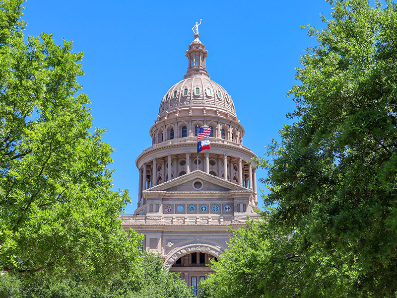
A great place to start is the State Capitol, north of the Colorado River. There are several good views of the Capitol from IH 35, Loop 360, and MoPac, but for one of the best, drive north on Congress Avenue from Town Lake.
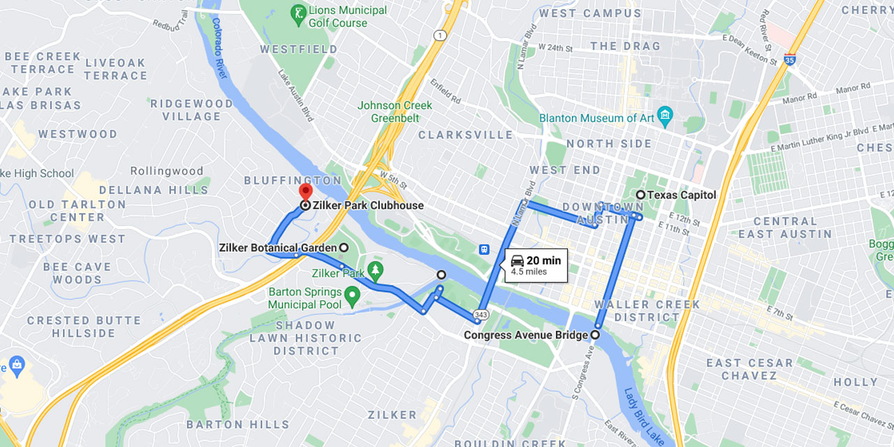
Zilker Park
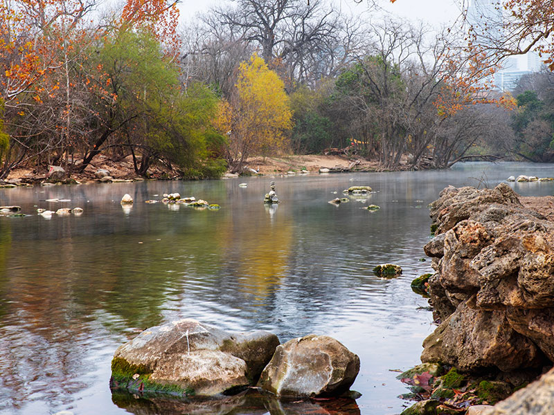
Zilker Park is south of Town Lake on Barton Springs Road, where a shelter within the Taniguchi Oriental Garden offers one of the nicest views in the city. Within the park, Lou Neff Point, where Barton Creek flows into the Colorado River, is a great place to see downtown Austin up close and watch the river flow through town. Take a few minutes and relax here. On the opposite shore is another nice spot providing a view up Barton Creek. You can park on the north side of Cesar Chavez Street and walk under a bridge to get to this spot along the Zilker Hike-and-Bike Trail. During the Christmas holiday season, the lighted Christmas tree in Zilker Park can be spotted from many vantage points along MoPac or Loop 360.
Zilker Nature Preserve
The Zilker Nature Preserve is located on Stratford Drive. (Stratford Drive intersects Barton Springs Road within Zilker Park.) The Austin Nature Center office will provide you with a trail map; on this map you can locate a great overlook. The start of the trail to the Zilker Preserves Overlook begins on Stratford Drive near Barton Springs Road. Another way to reach this overlook is to drive west on Barton Springs Road, go underneath the MoPac overpass and turn right on Rollingwood Drive. You will see a sign on your right indicating “Trail Access.” Drive on to the end of the road and park in the Zilker Club House parking lot. Walk back to the trail; the overlook is very near the road and provides a great view of the park and preserves. The patio at the Zilker Club House also affords a nice view of the area.
2. Drive Through East Austin
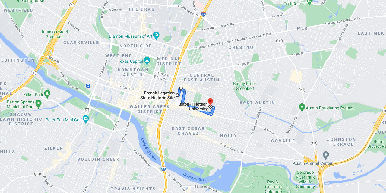
The French Legation is the only building in Texas erected by a foreign government and it offers some nice views of downtown Austin. The grounds and carriage house are free and open to the public Tuesday-Sunday, 1:00 – 5:00 pm. There is a charge for guided tours through the historic home and reconstructed kitchen structures.
From IH 35 go east on 8th Street and take the first road to the left, which is Embassy Street. The entrance is to your left. As you leave the Embassy, continue north on Embassy Street, turn right onto 9th Street, and turn left at the next street, which is San Marcos.
The Ebenezer Baptist Church, at the corner of San Marcos and 10th Street, also affords nice views of downtown Austin. As you leave Ebenezer Baptist Church, go east on 10th Street, turn right onto Waller Street, and continue until you reach 7th Street. Turn left there and continue to Huston-Tillotson College, which will be on your left about 3/4 of a mile down 7th Street. Turn left onto Chicon and enter the campus through the gate on the left. You will receive a great welcome from the guard, who can advise you where the best views are of downtown and east Austin from the campus area.
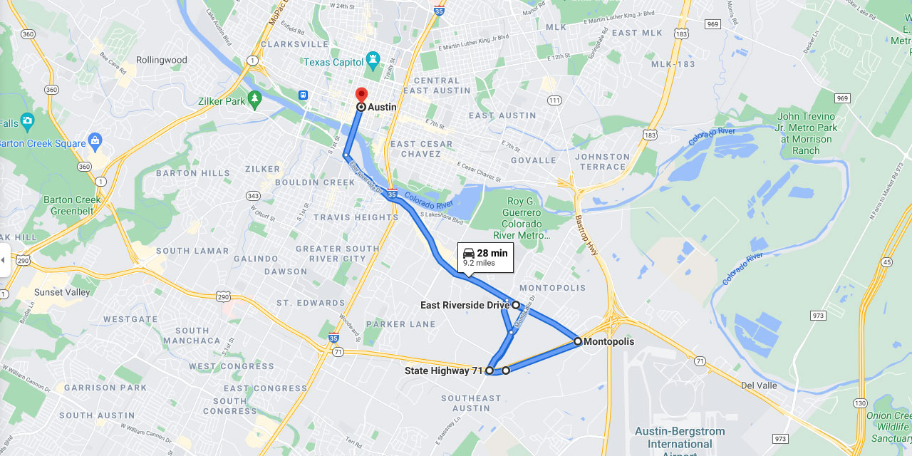
3. A Scenic Drive In South East Austin
Going south on IH 35, turn east on Texas Highway 71 (Ben White), continue to Montopolis Drive, and turn left. Watch for Grove Street, which will veer off to the left (northwest). You will see a nice view of downtown as you drive down Grove, and when you reach Riverside turn right. After a long block, take another right onto Montopolis, follow Montopolis back to Ben White, turn left there, drive to Riverside, and turn left again. The intersection of Ben White and Riverside Drive offers another nice view of downtown and south Austin. Continuing on Riverside will bring you back into the city.
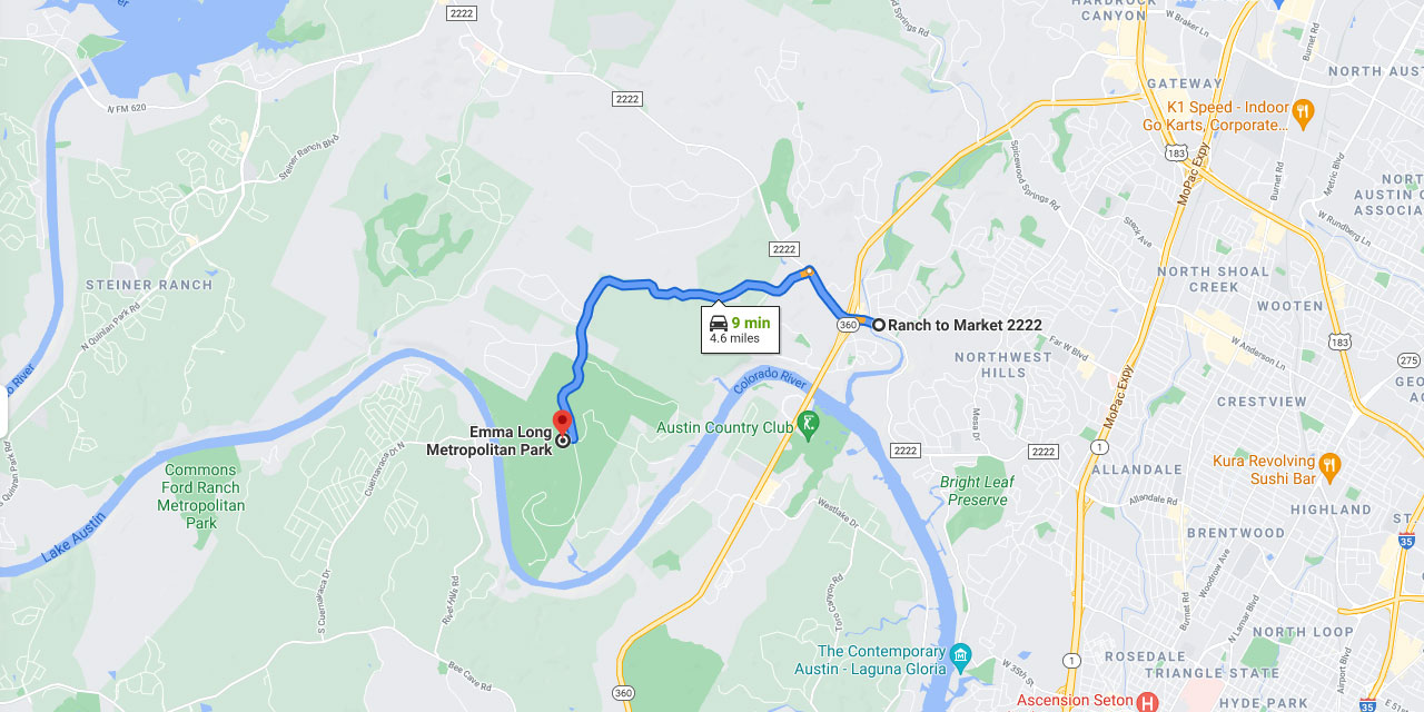
4. City Park Road
City Park Road provides magnificent views. Drive west on RM 2222, go past Loop 360, and turn left on City Park Road. You will drive along a ridge where you see the city on one side and glimpses of the Hill Country on the other. The road ends at Emma Long Metropolitan Park on the banks of Lake Austin.
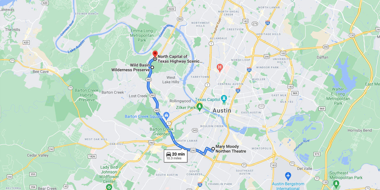
5. Explore South West Austin
Mary Moody Northen Theater is among the best spots for viewing the Austin skyline! Located on the campus of St. Edward’s University, at 3001 South Congress Avenue. Another good spot is the overlook on the east side of Loop 360 about 1.8 miles north of the Bee Caves Road cutoff. Also on the east side of Loop 360,1.5 miles north of the Bee Caves Road cutoff, you will see the sign for the Wild Basin Preserve. A visitor’s center there is staffed daily from 9 a.m. to 5 p.m., and from the porch of the visitor’s center you have a nice view of the Hill Country. A short walk down the Easy Access Trail will take you to an overlook with a great view of downtown Austin. This trail, designed to accommodate mobility impairments, is ideal for a less-than-strenuous walk.
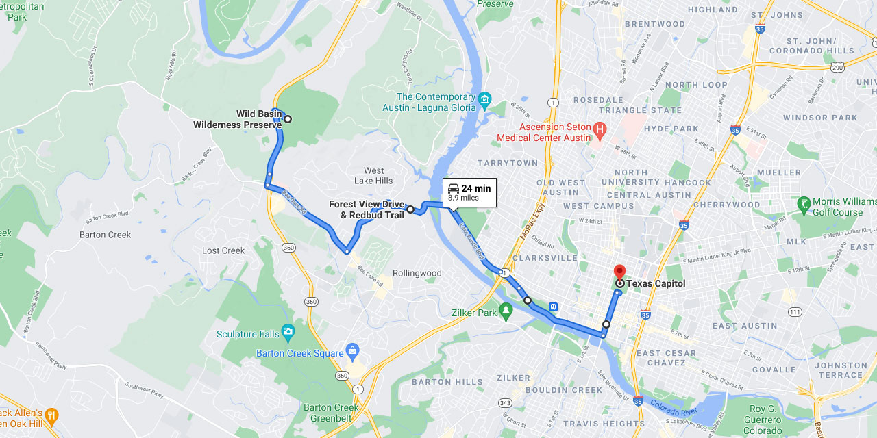
6. Scenic Drive Along Red Bud Trail
If you continue north on Loop 360 from Wild Basin, you will encounter more nice views just driving along. If you go south on Loop 360, however, turn east on Bee Caves Road, and take the second road to your left, which is Red Bud Trail. At the corner of Red Bud Trail and Forest View Drive, you will encounter another outstanding view of downtown Austin. At the next crossroads, which is Lake Austin Boulevard, turn right and continue under MoPac, taking Cesar Chavez. Drive along the north side of Town Lake, continue to Congress Avenue, turn left there, and drive up Congress Avenue to see a favorite view of the Capitol of Texas.
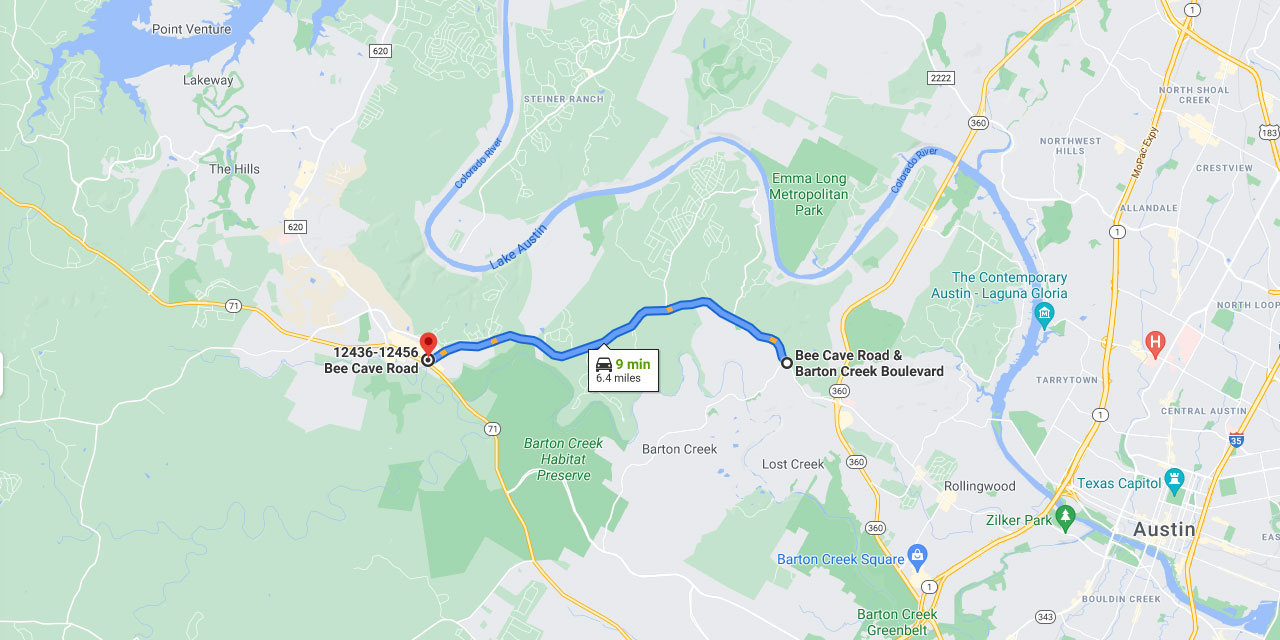
7. Bee Caves Road
Bee Caves Road west of Loop 360 provides a scenic 6.7-mile ride with spectacular views. This road becomes RM 2244 and has wide shoulders for easy riding. The wide shoulders begin at Barton Creek Boulevard, which intersects Bee Caves Road 1.1 miles west of Loop 360. Closer to town Bee Caves has heavy traffic with no shoulders and is not recommended for riding.
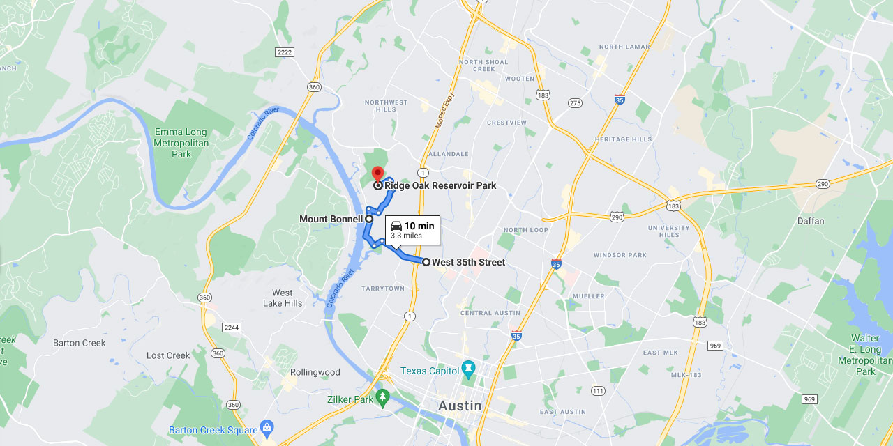
8. Scenic Mount Bonnell
Mount Bonnell is famous for its panoramic view 785 feet high above downtown and Lake Austin. This is a great place to picnic. Go west on 35th Street, veer left on Old Bull Creek Road,and turn right on Mt. Bonnell Road. Mt. Bonnell will be on your left at the top of 100 stone steps. A curfew extends from 9 p.m. to 4 a.m. As you leave Mt. Bonnell go north on Mt. Bonnell Road, turn right on Mt. Bonnell Drive, turn left on Balcones Drive. You’ll take another left onto Perry Lane, and turn left again onto Ridge Oak. Here you will find a small hilltop park built above a city water reservoir. This park offers dramatic views of the Loop 360 bridge, Austin Country club, Lake Austin Peninsula, and Cat Mountain.
9. Sunset Spots Around Austin
Barton Creek Square Mall
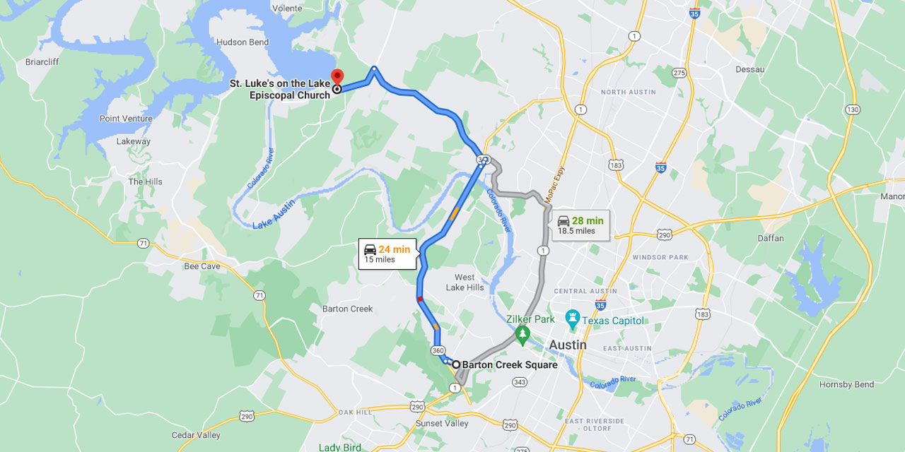
To watch the moonrise or sunset or to take pictures of the Austin skyline, drive out to 2901 Capital of Texas Highway (Loop 360), where Loop 360 intersects MoPac. The northeast parking lot has been outfitted for moon gazers, complete with trash receptacles and a bench. Still, watch out for the red ants if you’re sitting on the grass. Also watch the sunset from the parking lot of St. Luke’s on the Lake, a church overlooking Lake Travis with some of the best lake views. Please park in the lot west of the church and as a common courtesy don’t leave your trash. The church is on RM 620 just north of Mansfield Dam.
10. Dining With Sunset Views
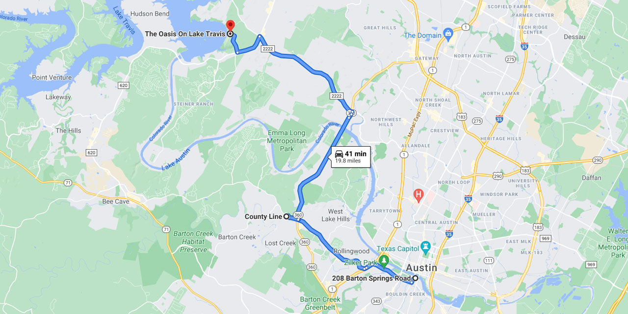
For the best views while dining, try 208 Barton Springs Road on Town Lake, the County Line at 6500 West Bee Caves Road, or the Oasis Cantina Del Lago on Lake Travis. At the Oasis you can watch the nightly sunset inside through glass windows or outside year-round from decks at several levels. To get there, drive out RM 2222, take RM 620 west, turn right onto Comanche Trail, and follow the signs.
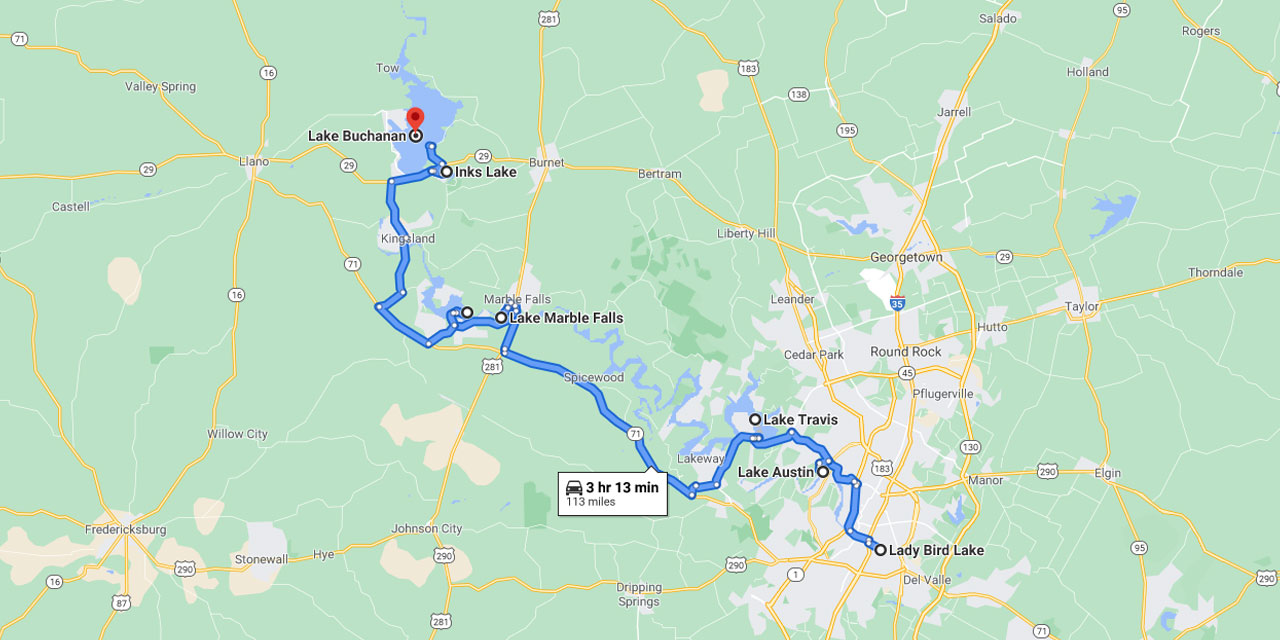
11. Scenic Drive To The Highland Lakes
For great views farther out, drive northwest to any of the Highland Lakes. This is a chain of lakes 150 miles long formed by a series of dams on the Colorado River. The nearest is Austin’s Town Lake, followed by Lake Austin, Lake Travis, Lake Marble Falls, Lake LBJ, Inks Lake, and Buchanan. Lake Buchanan is farthest out and is the largest of all these lakes. Each one offers recreational opportunities, such as swimming, boating, or hiking.
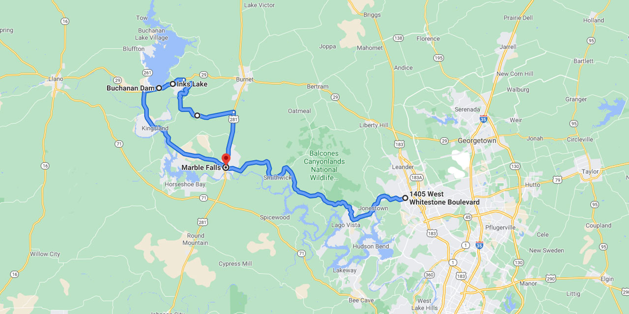
12. Scenic Drives Around Highway 183
A scenic route to the lakes is to drive north of Austin on Highway 183. Go west on RM 1431. This route will give you views of Lake Travis, Lake Marble Falls, and Lake Lyndon B. Johnson. You will pass through the town of Marble Falls. RM 1431 ends at Texas Highway 29; turn right here. After several miles Lake Buchanan and Lake Buchanan Dam will be on your left. Inks Lake will be on your right. Take Park Road 4 (turn right) at Inks Lake and continue to Highway 281. Turn right and you will be back on RM 1431 at Marble Falls after about 8 miles.
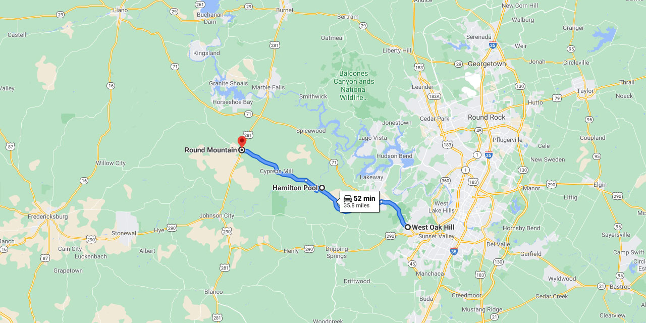
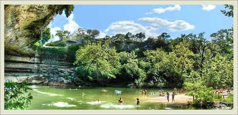
13. Drive & Dip In Hamilton Pool
For a scenic drive west of Austin, go west on Texas Highway 71, continue past the turn off for RM 620 for another couple of hundred yards, and then turn left on Hamilton Pool Road (RM 3238). After a few miles this road loses its status as a ranch road, becoming narrower, windier, and slightly rougher at this point. About 14.5 miles from the cutoff you will reach Hamilton Pool, named for a natural pool within a cave where a waterfall 65 feet high furnishes a constant supply of water. Shortly past the Hamilton Pool turn off you will plunge into the Pedernales River valley. The road takes a hairpin course down and across the narrow one-lane low water bridge, so take it easy and enjoy the scenery.
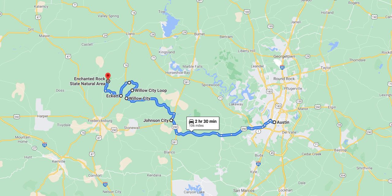
14. Scenic Drive On The Willow City Loop
You may wish instead to drive west on Highway 290 towards Johnson City. Turn right on Highway 281 and pass through Johnson City on Highway 281. Turn left onto RM 1323, and continue to Willow City. At a T-intersection where a small wooden sign says “Willow City Loop,” turn left here to drive one of the most wildly beautiful roads in Texas. After about 14 miles, turn left onto Texas Highway 16. Soon you will come to Eckert. Take a right turn and continue to the intersection of RM 965 toward Enchanted Rock State Natural Area. Enchanted Rock and its smaller companions are awesome. A mile-long climb to the summit will provide you with some of the best panoramic views, sunrises, and sunsets. Incidentally, Texas Highway 16 is beautiful all the way from Kerrville, Enchanted Rock, to Llano.
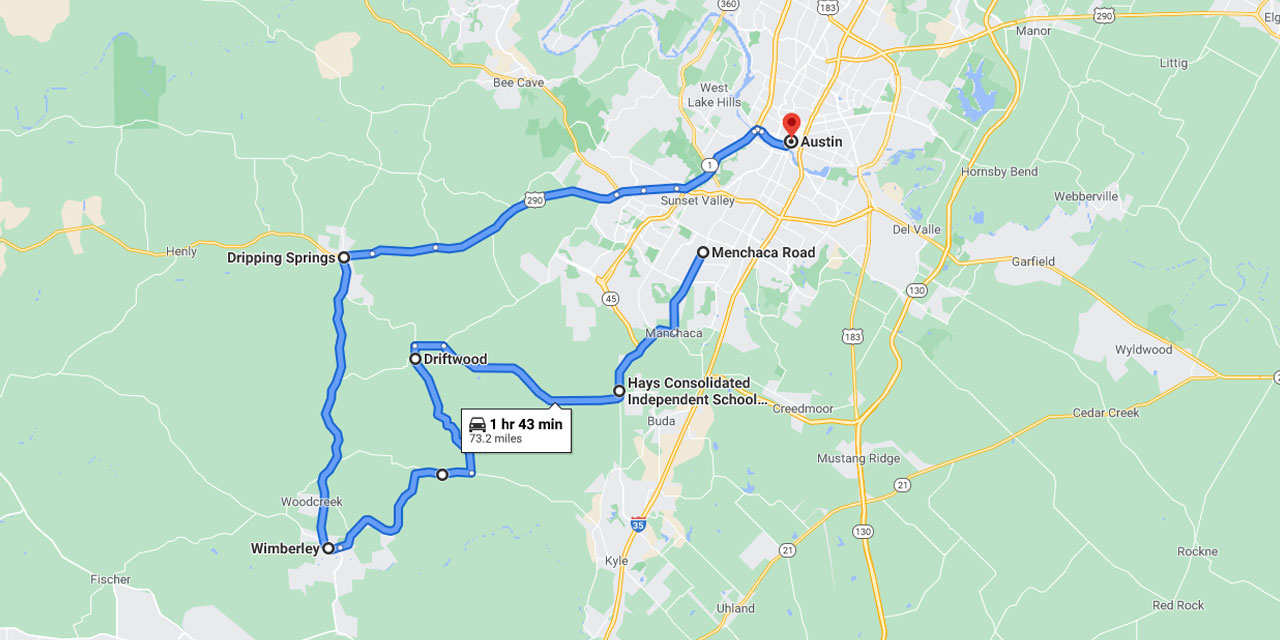
15. Drive From Driftwood to Wimberley
To take a scenic drive south of Austin, go south on Menchaca Road until it ends at FM 1626, where you turn right. For the next 4.5 miles you drive on the edge of the Balcones Escarpment. Bear west toward Driftwood on FM 967. When FM 967 comes to an end after 9.2 miles, turn left onto RM 1826 going west for just over a mile, and turn left on FM 150. Continue to the intersection of FM 150 and FM 3237, turn right on FM 3237, and continue to Wimberley. A quick way to return to Austin is to turn right on RM 12, which will take you to the town of Dripping Springs. Here you find Highway 290, where you turn right and continue east to Austin.
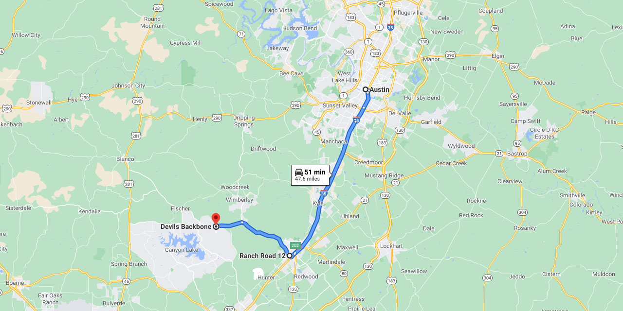
16. Legendary Devil’s Backbone
Or drive south on IH 35 to San Marcos and take RM 12 west. About 10 miles out of town, RM 12 suddenly veers north to Wimberley. You continue straight on RM 32. In less than 5 miles you begin to climb Devil’s Backbone. This is a long and rugged hill that helps define the Guadalupe River and Blanco River watersheds. The views from the roadside park at the top are wonderful.
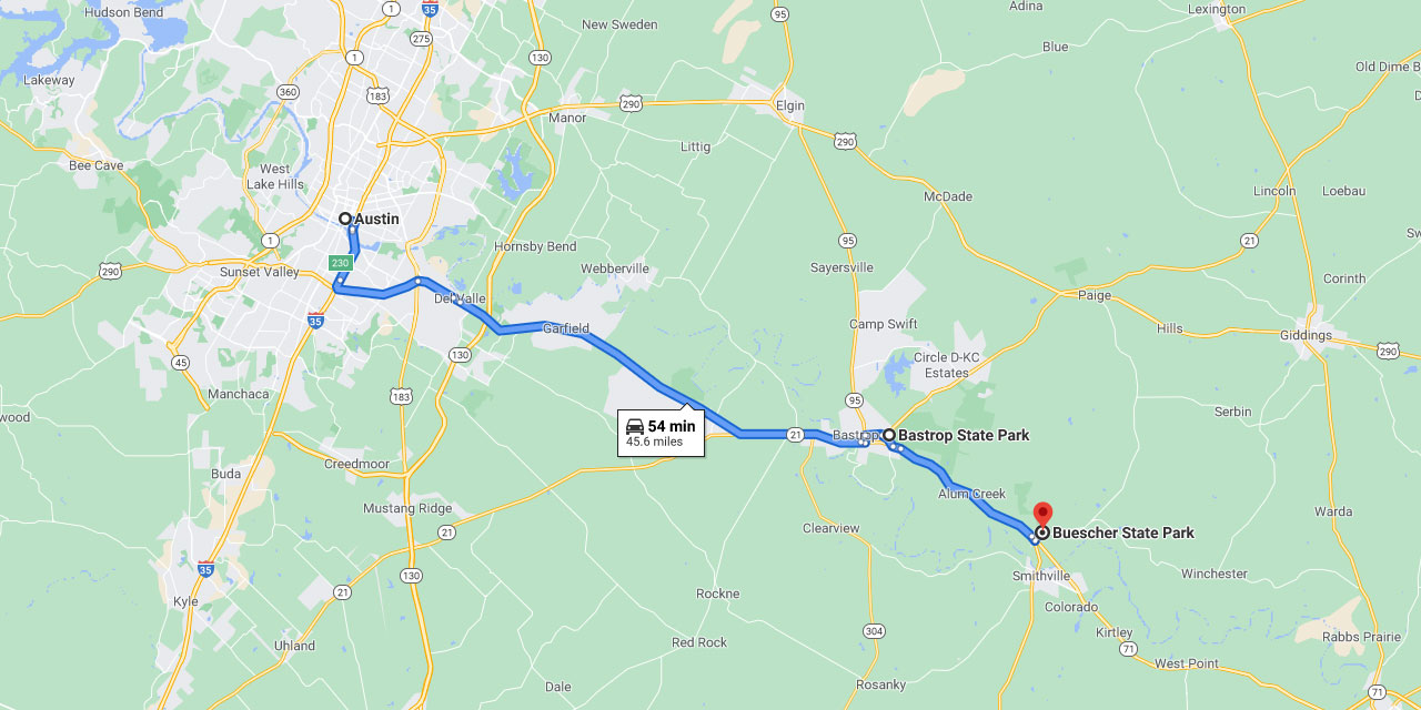
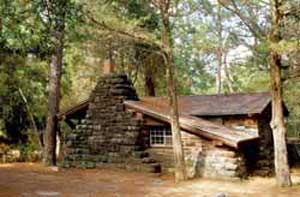
17. The Lost Pines
East of Austin, Texas Highway 71 will take you to Bastrop. Drive through Bastrop and take Texas Highway 21 north (turn left); about 1 mile east you will come to Bastrop State Park – read our review of Bastrop State Park, one of our favorite State Parks. Park Road I connects Bastrop State Park to Buescher State Park. There is a stop between these parks that will give you great views of the area. Both of these parks are in the Lost Pines.
Scenic Drives To See Wildflowers
Different wildflowers bloom in all different seasons. For more information check the Texas Wildflower Season. Also check the newspapers or call the Wildflower Hotline, 512-832-4059 ext. 4, starting about the middle of March through May, to determine the best areas for wildflowers. This is especially true in the spring. Prime time is usually the first 2 weeks in April – the views of blooming wildflowers in the Central Texas area can be glorious.
Texas Hiking and Biking | The Highland Lakes | Texas State Parks

Author: Simon Trask
Simon loves Texas and the Great Outdoors. From East Texas pines to West Texas mountains, he calls North Texas home but is always ready to float a river in Hill Country or go fishing on the Gulf Coast. Simon loves camping and road trips as well, whether it's cruising Highway 287, 82, 69 or 281, that's the true way to see what Texas is all about!